
A multinational conglomerate of exactly one early retiree building wildly over-engineered solutions to hyper-specific problems.
I retired early, which everyone assures me is the dream, and it mostly is. But it turns out that once you've reorganised the garage for the third time, a brain that spent decades solving problems for a living starts quietly inventing new ones. Mine settled on two: whether my phone would have signal at the top of whichever hill I was walking up, and whether my pension would still be there when I got back down. Both worries have since become the products below, which I'm told is called "entrepreneurship". The honest truth is that trying to make these things useful to other people is what keeps me useful — for a while at least, and that's really the whole point.
— ChrisTrail Signal
Will my phone work on this hill?Getting lost in the Scottish Highlands is a rite of passage. Getting lost without the ability to call Mountain Rescue — or worse, without Spotify — is completely unacceptable.
Trail Signal is a UK outdoor map that knows where your phone will stop working. It cross-references Ofcom's charmingly optimistic predictions with what phones actually measure out there — and then, the flagship trick: it taps you on the shoulder about 400 m before a dead zone, screen off, phone in pocket. "Last signal — dead zone ahead. Signal expected back in ~1.6 km. Send messages and make calls NOW."
- Dead-Zone Alerts: live look-ahead warnings while you walk or run, with a lock-screen countdown to signal returning. No other outdoor app does this, which we choose to interpret as visionary rather than niche.
- Signal Reports: feed it any GPX route and get the verdict before you've laced your boots — every dead zone, the longest gap and where it bites, the patchy stretches in between.
- Actually Offline: full topographic maps — contours, rights of way, 3D terrain, the coverage layers themselves — downloaded to the phone. Works with zero bars, which is rather the point.
- Real Measurements: every recorded walk feeds an anonymised community coverage map. Predictions say what should happen out there; boots measure what actually does.
- Free during beta: everything is free while we work it out. Record and share 25 km of signal data and your first year of the eventual paid plan (around £19.99/yr) is free. We call this the Founding Contributor programme because it sounds considerably grander than "please test our app".
In The Lab
Things that don't exist yet — we're being honest about that. Coming to Trail Signal in roughly this order, with no dates attached, because we have learned that particular lesson the way everyone learns it.
- Watch My Walk: dead-zone notifications for the person at home doing the worrying — who, let's be honest, is the real customer. They get a heads-up when you're about to go offline ("entering a predicted 1.2 km dead zone, expect them back around 15:40, don't worry yet") and another ping the moment you're back in signal.
- Nearest Signal: one tap, even offline: "signal ~600 m north-east — up the ridge." Mountain Rescue's first piece of advice, automated.
- Satellite Sky-View: satellite messaging is arriving on phones, but it needs open sky — and it fails in exactly the gorges and forests where phone signal dies too. We'll map which dead zones satellite can rescue, and which valleys are just properly, magnificently off-grid.
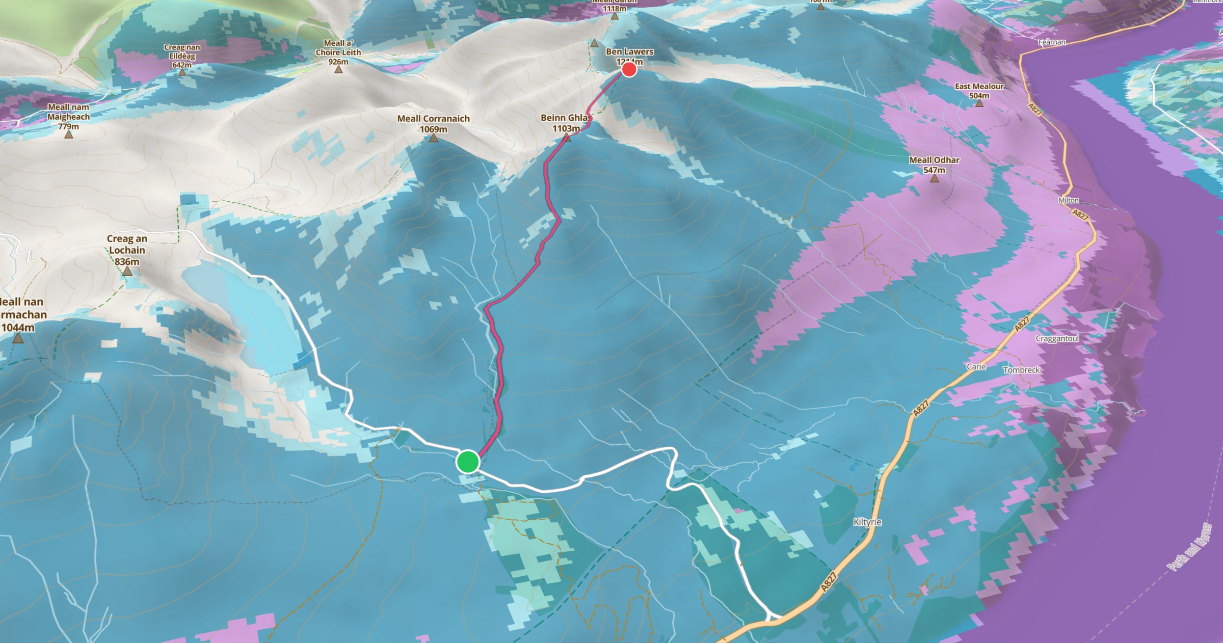
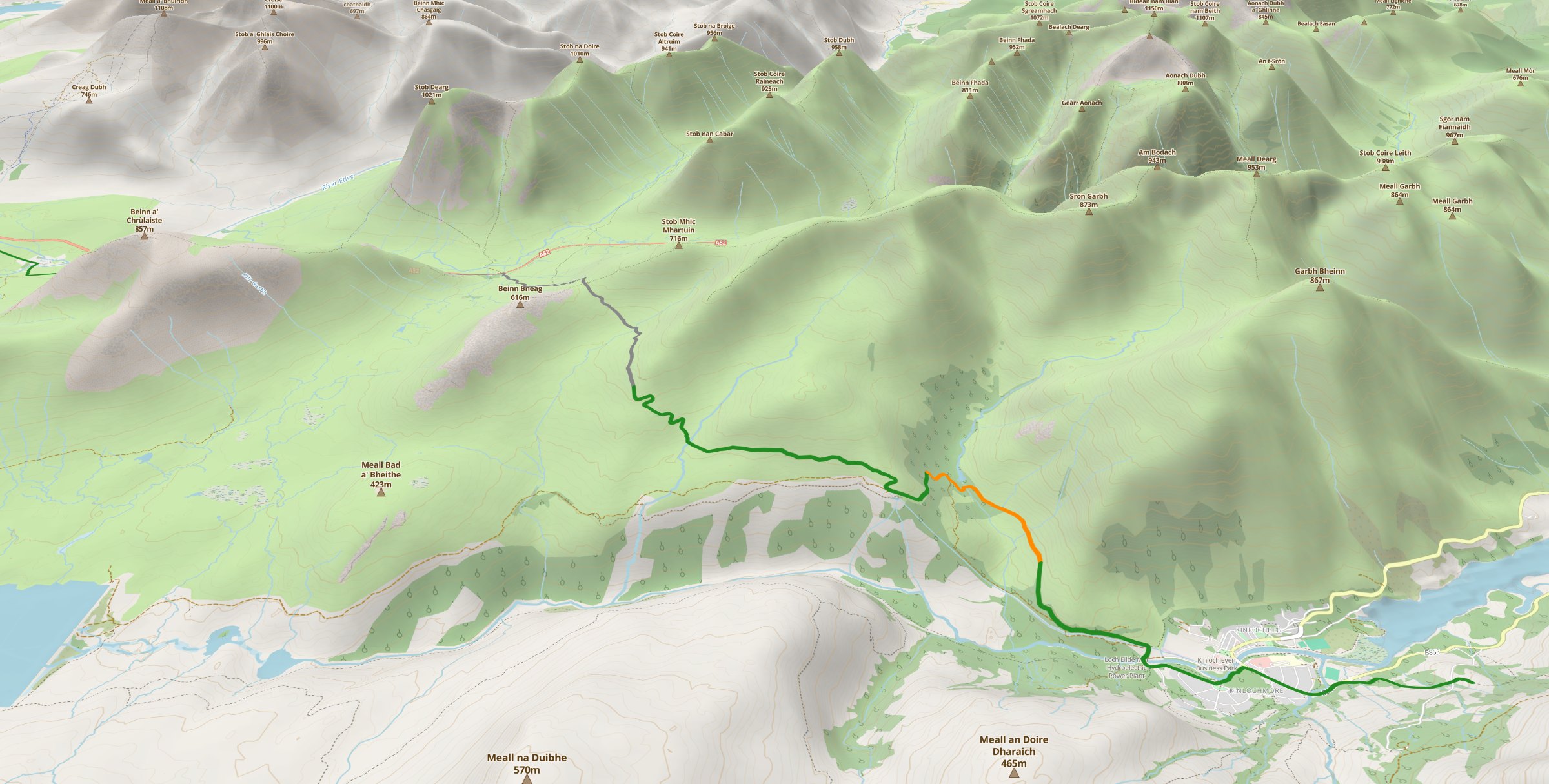
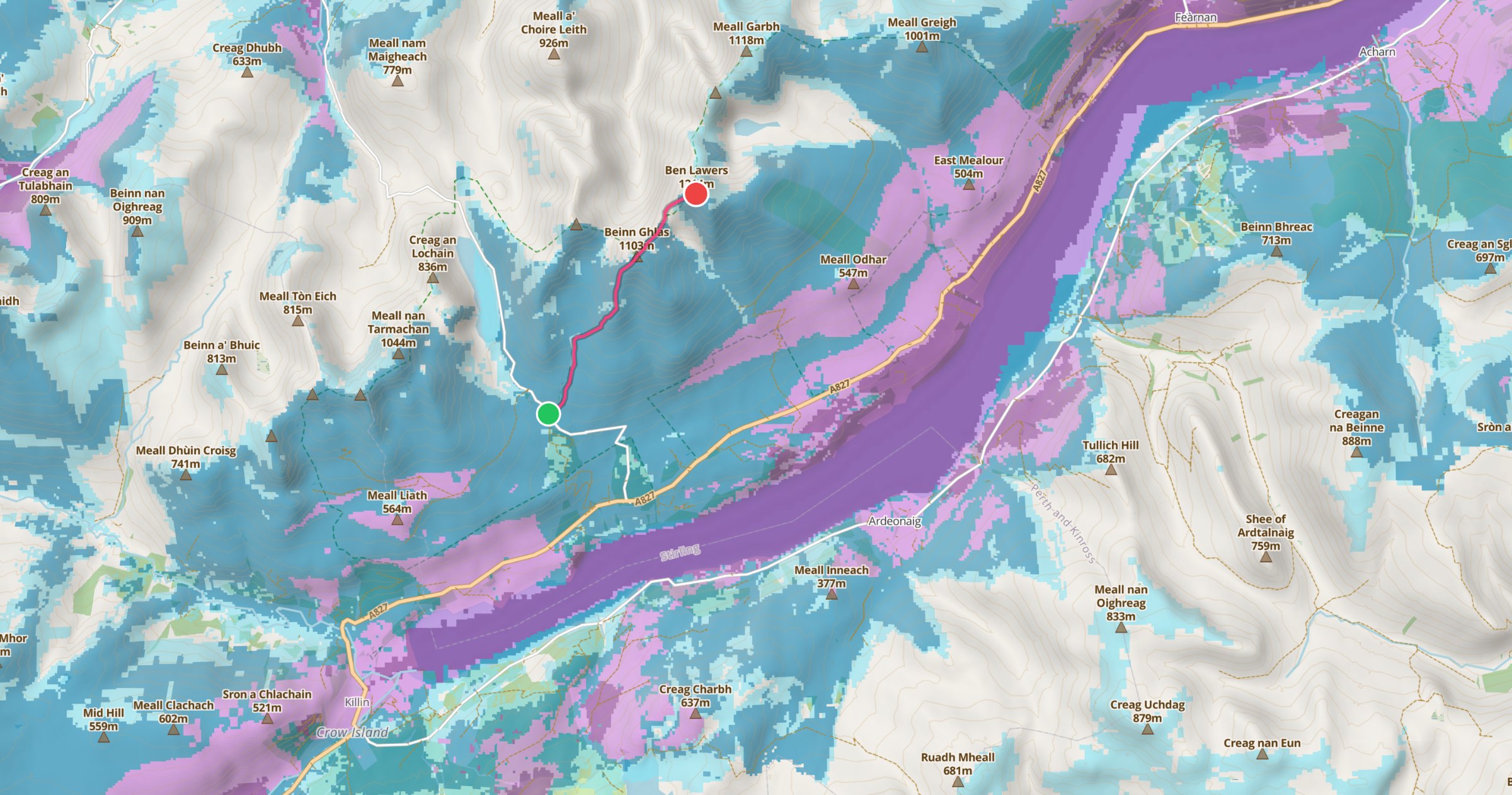
Under the hood: MapLibre, PMTiles, Capacitor, and a UK basemap we slimmed from 3.2 GB to 1.4 GB because restraint is technically a virtue.
Pension Planner
Because math is terrifying.Work in progress — currently being stress-tested on the one retirement we can't afford to get wrong: the founder's.
Am I going to run out of money before I run out of breath? That is the million-pound question.
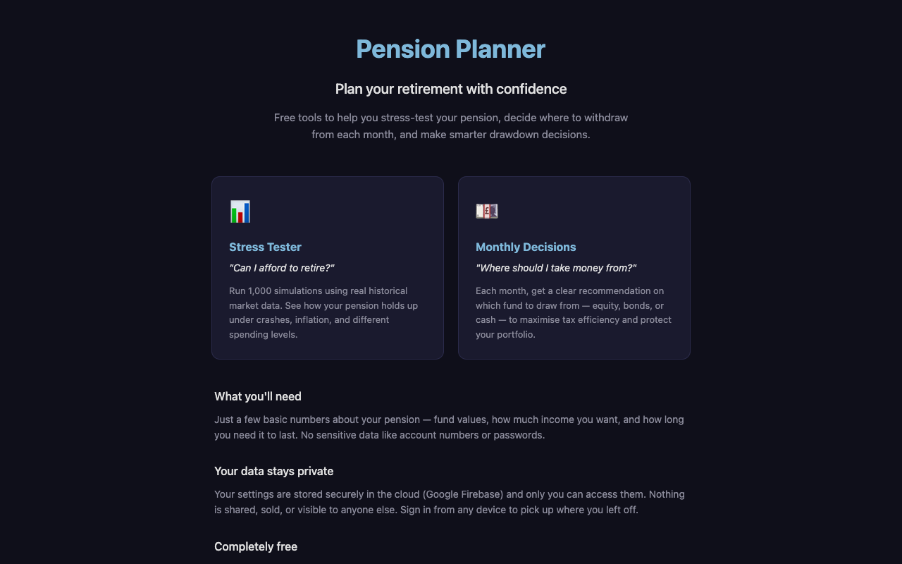
Pension Planner (PensionTools) is a ludicrously powerful Progressive Web App designed to stress-test your pension drawdown strategy until it shatters. It simulates thousands of market futures so you can panic about going broke today, rather than 20 years from now.
- Monte Carlo Engine: 1,000 simulated market futures mapping the exact probability of financial ruin.
- Tax Optimization Algorithms: Automatically structures SIPP and ISA withdrawals to ruthlessly stay within the basic rate tax band, keeping HMRC away.
- Protection Mode: A defensive algorithm that cuts spending during sequence-of-return risk scenarios.
- Your Data, Locked to You: your figures live in Google Cloud Firestore (London region), tied to your sign-in — only you can access them, and we never ask for account numbers or passwords. Sign in from any device and resume panicking exactly where you left off.

Chris Booth
The Board of Directors
My overarching corporate strategy is simple: If these apps can generate just enough revenue to cover my Cloudflare usage and AI API tokens, I will consider this a total corporate triumph. I operate with zero VC funding, zero meetings, and zero adherence to standard working hours.